Costa Ballena, Costa Rica

    Local Information

    From Dominical to Ojochal: cliffs, beaches, rainforest and the first marine park in Central America.

    Voice Answer

    What is Marino Ballena National Park?

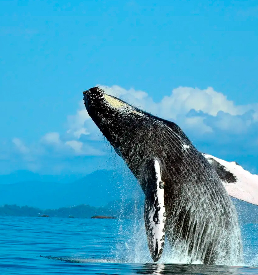
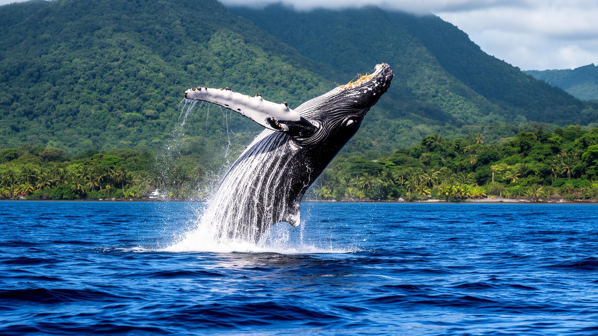
    Marino Ballena National Park is a protected area in Uvita, Costa Rica, famous for its whale tail sandbar. Visitors come for humpback whale watching from August to October and January to March, plus quiet beaches, coral reefs and boat tours departing daily.

    Costa Ballena is the stretch of Costa Rica's southern Pacific running from Dominical to Ojochal, in the canton of Osa. It gathers a long series of cliffs and beaches such as Dominical, Dominicalito, Playa Hermosa, Uvita, Playa Arco, Bahía Ballena, Piñuelas, Ventanas and Playa Tortuga.

    It owes its name to the large number of migrating whales that arrive each year and to the natural whale-tail sandbar at Punta Uvita. The region is celebrated for its biodiversity and is a destination for nature lovers, diving, kayaking and surfing.

    The three towns of Costa Ballena

    Uvita de Osa

    Uvita de Osa

    The whale tail town and gateway to Marino Ballena

    Uvita is the heart of Costa Ballena, in the canton of Osa, Puntarenas province. It is best known for Punta Uvita, the natural sandbar shaped like a whale's tail that appears at low tide inside Marino Ballena National Park. Around it you will find waterfalls, rainforest ridges, farms and a small, relaxed town that works as the base for most tours in the southern Pacific.

    See more
    Dominical de Osa

    Dominical de Osa

    Costa Rica's laid-back surf capital of the south

    Dominical, at the northern end of Costa Ballena, is a beach village famous for its consistent surf, long grey-sand beach and bohemian atmosphere. It is the meeting point between the Pacific and the mountains of the Fila Costeña, with waterfalls, rivers and wildlife refuges only minutes inland.

    See more
    Ojochal de Osa

    Ojochal de Osa

    The gourmet village in the rainforest

    Ojochal is the southernmost village of Costa Ballena, settled in the 1980s by Québécois and European families. Today it is known as the culinary capital of the southern Pacific, with an unusual concentration of international restaurants hidden among jungle hillsides, plus quiet beaches such as Playa Tortuga and Playa Ventanas.

    See more

    Protected wild areas

    Information from SINAC-MINAE, Osa Conservation Area.

    Parque Nacional Marino Ballena

    Parque Nacional Marino Ballena

    The first Costa Rican protected area created exclusively for its marine resources and the first marine park in Central America. National Geographic ranks it among the world's best places for cetacean watching.

    • •5,160 marine hectares and 171 land hectares
    • •15 km of coastline, from the mouth of the Morete river to Punta Piñuela
    • •Humpback whales from the southern and northern hemispheres, plus year-round dolphins
    • •Punta Uvita whale-tail sandbar, coral and rocky reefs, nesting sea turtles

    Source: SINAC – Parque Nacional Marino Ballena

    Parque Nacional Corcovado

    Parque Nacional Corcovado

    The largest protected area of the Osa Conservation Area and one of the most biodiverse places on the planet: lowland tropical rainforest, rivers, waterfalls and wild beaches on the Osa Peninsula.

    • •Sectors: Sirena, San Pedrillo, La Leona, Los Patos, Los Planes and El Tigre
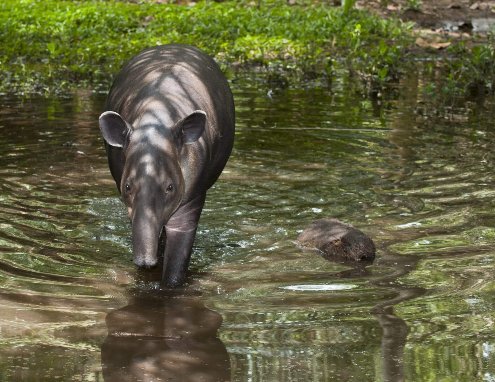
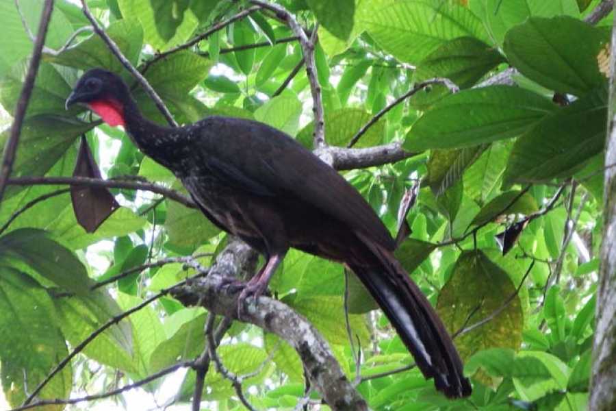
    • •Home to tapirs, jaguars, scarlet macaws, four monkey species and Baird's peccary
    • •Entry requires reservation and a certified guide
    • •Reachable by boat from Sierpe or Drake Bay

    Source: SINAC – Parque Nacional Corcovado

    Reserva Biológica Isla del Caño

    Reserva Biológica Isla del Caño

    A biological reserve on the continental shelf of the Costa Rican Pacific, 16 km northwest of the Osa Peninsula, with the clearest waters of the region and archaeological remains of pre-Columbian cultures.

    • •320 land hectares and about 5,800 marine hectares
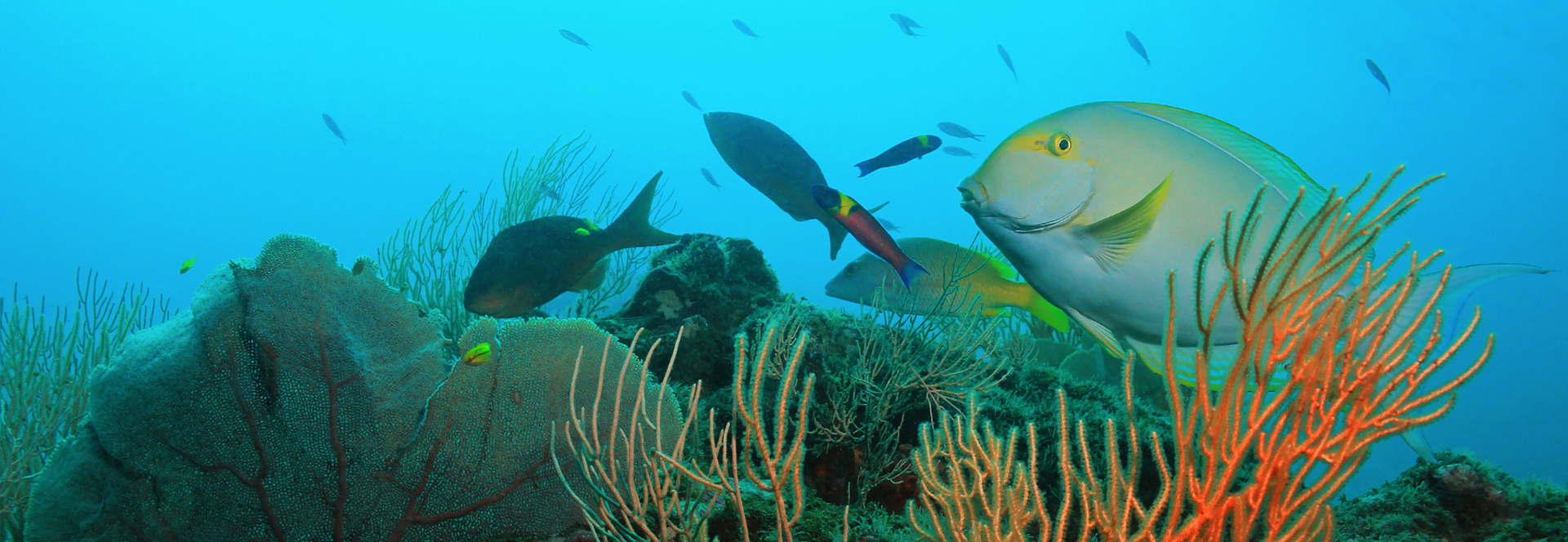
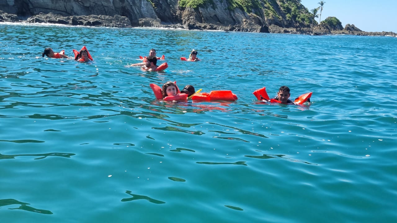
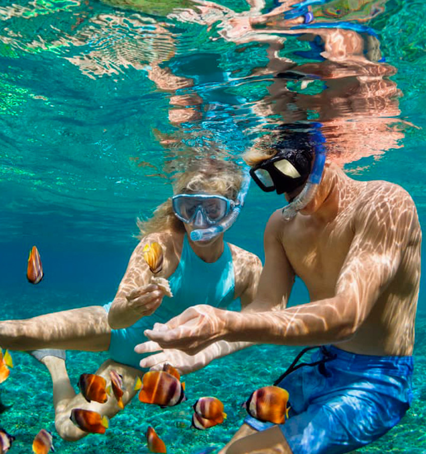
    • •One of the best snorkelling and diving sites in Costa Rica
    • •Reef fish, white-tip reef sharks, rays and sea turtles
    • •Visits by boat with authorised operators; landing is restricted

    Source: SINAC – Reserva Biológica Isla del Caño

    Humedal Nacional Térraba-Sierpe

    Humedal Nacional Térraba-Sierpe

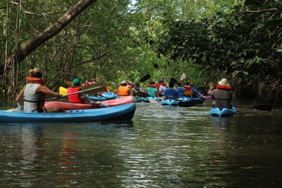
    The largest mangrove wetland in Central America, formed by the deltas of the Térraba and Sierpe rivers. A Ramsar site and nursery for fish, crustaceans and birds of the southern Pacific.

    • •Around 27,000 hectares of mangrove, estuary and channels
    • •Five mangrove species, crocodiles, boas, herons and silky anteaters
    • •Best explored by boat or kayak from Sierpe
    • •Also the gateway to Corcovado and Isla del Caño

    Source: SINAC – Área de Conservación Osa

    Local Taxi Information

    Local taxi drivers in Uvita, most of them with 4x4 vehicles. Tap a number to start a WhatsApp chat.

    Official taxis

    DriverPhone / WhatsAppEnglish4x4Max pax
    William ElizondoOfficialYes✓6+
    Greivin BonillaOfficialYes✓6+
    Greivin Bonilla (Taxi 2)OfficialNo✓6+
    Geovany VillegasOfficialYes✓4+
    Alex (Pick Up)OfficialYes✓4
    Carlos TaxiOfficialYes✓4
    Carlos (Pick Up)OfficialNo✓4

    Non-official taxis

    DriverPhone / WhatsAppEnglish4x4Max pax
    HenryYes✓4
    José Andrés Villegas SalazarYes✓4